NHC eyes a possible low northeast of the Bahamas: 30% chance it forms, and a home checklist
NHC gives a possible low northeast of the Bahamas a 30% chance of subtropical development in 7 days. What the outlook says, what it doesn't, and a home checklist.
By Tom Calder · Updated November 2, 2026 · Sourced to the National Hurricane Center's Tropical Weather Outlooks, product guide, glossary and storm archive, the National Weather Service, Ready.gov and FloodSmart
- On Monday, November 2, the National Hurricane Center (NHC) began watching an area in the western Atlantic. In its 1 PM EST outlook it says a low is "likely to form along a weakening frontal boundary a few hundred miles northeast of the Bahamas in a couple of days."
- NHC gives it a low chance of development: near 0 percent in 48 hours and 30 percent in 7 days, up from 20 percent at 7 AM. It says the system could take on "some subtropical characteristics" late this week, and that the chances should end by the weekend as it is expected to move east or northeast into unfavorable conditions.
- The outlook names no US coast and no storm. At 3:19 PM ET, our hurricane tracker showed no active storms and no tropical watches or warnings in any US state.
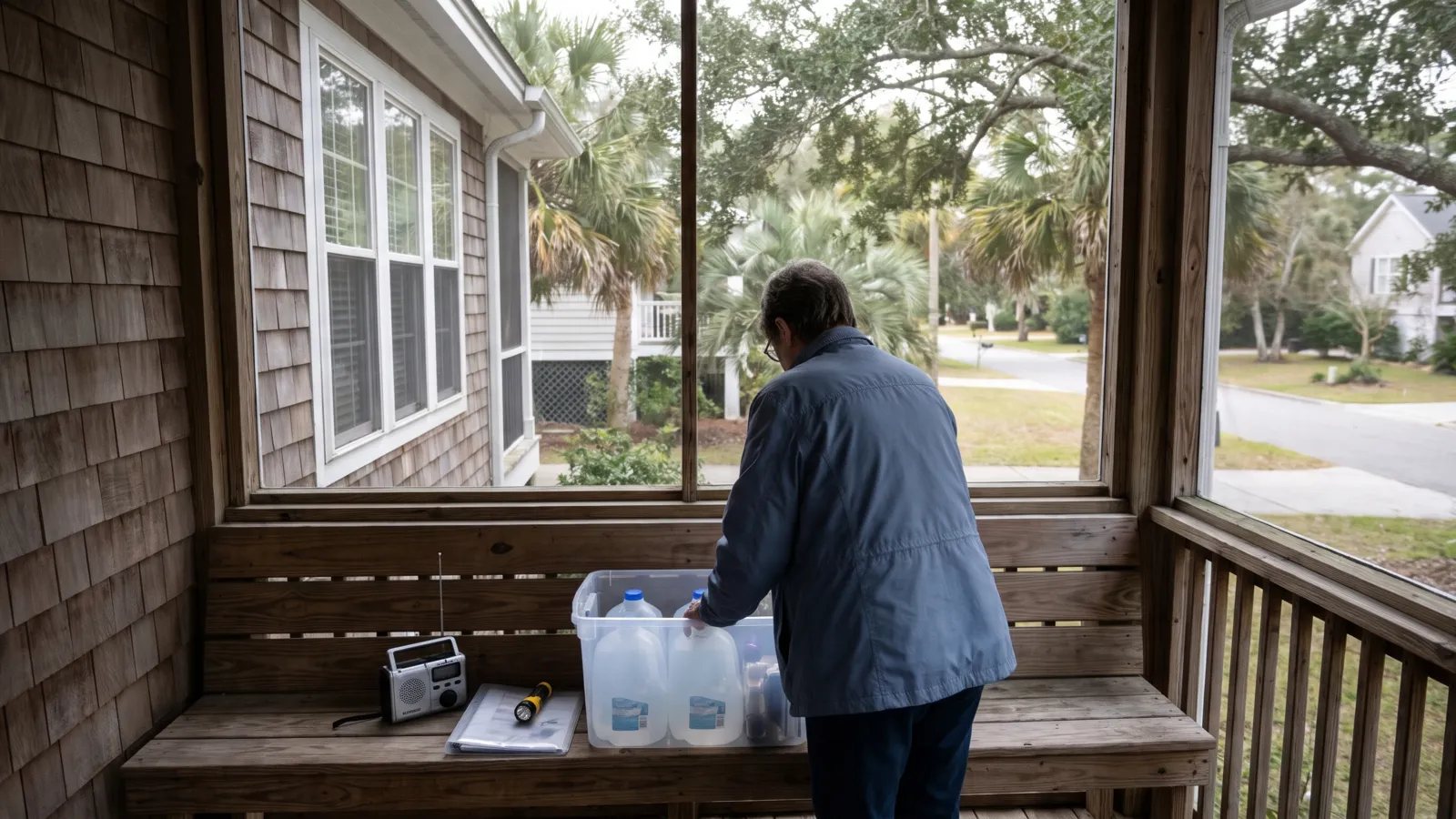
- Hurricane season runs to November 30. You don't need to buy anything because of this outlook. It is a good week to check your evacuation zone, documents, supplies and alerts.
What the National Hurricane Center said today
NHC's Atlantic outlooks said "Tropical cyclone formation is not expected during the next 7 days" through 1 AM EST on Monday, November 2. At 7 AM, a new entry appeared under the heading "Western Atlantic", and at 1 PM NHC repeated it with a higher 7-day chance.
In NHC's words: "An area of low pressure is likely to form along a weakening frontal boundary a few hundred miles northeast of the Bahamas in a couple of days. This system could acquire some subtropical characteristics late this week while it drifts over the western Atlantic."
NHC adds: "The chances of subtropical development should end by the weekend when the system is expected to move eastward or northeastward into unfavorable environmental conditions." Its formation chances are "low...near 0 percent" through 48 hours and "low...30 percent" through 7 days. At 7 AM, the 7-day figure was 20 percent.
What the outlook does and doesn't say
NHC's product guide sorts each chance into one of three bands: "low probability of development (0-30%), medium probability (40-60%), and high probability of development (70-100%)." At 30 percent, this area is at the top of the low band. The figures are given "to the nearest 10%".
"Subtropical" has a set meaning. NHC's glossary defines a subtropical cyclone as "A non-frontal low-pressure system that has characteristics of both tropical and extratropical cyclones." One with sustained winds of 39 mph or more is a subtropical storm.
The outlook is about whether a system forms, not where it goes. It does not name any coast, give a track or mention watches or warnings. It doesn't say the system will reach the US, and it doesn't say anywhere is in the clear. NHC issues the outlook four times a day and can issue a special one at any time, so the chances can move either way.
The season so far, from our tracker
NHC's 2026 archive lists 10 named storms in the Atlantic so far, Arthur through Josephine. Isaias reached hurricane strength. Josephine was a subtropical storm, a reminder that subtropical systems get names from the same list. The next name on the Atlantic list is Kyle. NHC's current storms feed listed no active storms when we checked at 3:19 PM ET on November 2.
NHC says the Atlantic season runs "from June 1 to November 30, but tropical cyclone activity sometimes occurs before and after these dates". It puts the peak at September 10, "with most activity occurring between mid-August and mid-October." Our hurricane tracker updates every 15 minutes with active storms and any tropical warnings in US states.
A short home checklist for the last weeks of the season
None of this needs a shopping trip. It is the same list Ready.gov and the National Weather Service (NWS) give for any hurricane season, and four weeks are left in this one.
- Know your zone. NWS says to find out whether you live in a hurricane evacuation area "by contacting your local government/emergency management office". Ready.gov adds: "Learn your evacuation routes, practice with your household and pets, and identify where you will stay." Your state's page links its emergency management office.
- Check your documents. Ready.gov: "Make sure your insurance policies and personal documents, such as ID, are up to date." It suggests keeping copies in a secure, password-protected digital space.
- Look over your supplies. Ready.gov says to include medication, disinfectant supplies and pet supplies, because "You may not have access to these supplies for days or even weeks after a hurricane." NWS says to check flashlights, generators and storm shutters. Our emergency kit checklist has the full list.
- Have more than one way to get alerts. Ready.gov points to the FEMA app, community alerts, and the Emergency Alert System and Wireless Emergency Alerts, "which require no sign up." Our guide to emergency alerts on your phone shows how to switch them on.
- If you have a generator, keep it outside. NWS says carbon monoxide poisoning "is one of the leading causes of death after storms in areas dealing with power outages. Never use a portable generator inside your home or garage." Ready.gov says to use generators "outdoors and at least 20 feet away from windows, doors and attached garages", and to install working carbon monoxide detectors on every level of your home. Our generator safety guide has more.
Flood insurance takes time
NWS says to review your insurance policies "to ensure that you have adequate coverage for your home and personal property." If you are thinking about flood insurance, FloodSmart says coverage "will go into effect 30 days after your date of purchase," with four exceptions, such as buying it while you take out or renew a mortgage. A policy bought today is a step for next season more than for this system. Our flood preparedness guide explains how it works.
What you don't need to do
You don't need to buy anything or stock up because of a 30 percent outlook for a system NHC expects to drift over the western Atlantic. Watch the official outlook instead: NHC posts it at 1 AM, 7 AM, 1 PM and 7 PM EST, and our hurricane tracker and live alerts page will show any storm or warning. If a watch or warning is ever issued where you live, follow your local officials. Our hurricane preparedness guide covers what to do then.
We will update this story if NHC raises the chance into its medium or high band, starts advisories on the system, or if any tropical watch or warning is issued for a US coast. NHC's Tropical Weather Outlook at nhc.noaa.gov is the official, current picture.
Common questions
Is there a hurricane or tropical storm in the Atlantic right now?
No. NHC's current storms feed listed no active storms when we checked at 3:19 PM ET on November 2, and NWS showed no tropical watches or warnings in US states. NHC is watching one area northeast of the Bahamas, where it gives a low pressure system a 30 percent chance of subtropical development in 7 days.
Is the new area of interest heading for Florida or the East Coast?
The outlook doesn't say so. NHC says the low could form a few hundred miles northeast of the Bahamas, drift over the western Atlantic, then move east or northeast into unfavorable conditions by the weekend. It names no coast and gives no track. Check NHC's outlook and our hurricane tracker for changes.
What does a 30 percent chance mean?
NHC rounds its formation chances to the nearest 10 percent and calls 0 to 30 percent low, 40 to 60 percent medium and 70 to 100 percent high. A 30 percent chance through 7 days is at the top of the low band. It is about whether a system forms, not where it goes.
When does hurricane season end?
NHC says the Atlantic season runs from June 1 to November 30, and that storms sometimes form before and after those dates. The peak is September 10, with most activity between mid-August and mid-October.
Do I need to buy anything?
No. Check your evacuation zone, your documents and insurance, the supplies you already have, and that your phone gets emergency alerts. If you have a generator, NWS says never to use it inside your home or garage. Flood insurance usually takes 30 days to start, so it is a step for later, not for this system.
Sources (14)
- NHC: Tropical Weather Outlook, Atlantic (1 PM EST, Nov 2, 2026)
- NHC: Tropical Weather Outlook, Atlantic (7 AM EST, Nov 2, 2026)
- NHC: Tropical Weather Outlook, Atlantic (1 AM EST, Nov 2, 2026)
- NHC: Product descriptions (Tropical Weather Outlook)
- NHC: Glossary
- NHC: Tropical cyclone climatology
- NHC: 2026 Atlantic hurricane season archive
- NHC: Current storms feed
- NWS: Active tropical watches and warnings
- National Weather Service: Hurricane Preparedness
- National Weather Service: After the Hurricane
- Ready.gov: Hurricanes
- Ready.gov: Power Outages
- FloodSmart: Buy a policy
Get one calm email when it matters
Seasonal checklists and gear price drops. No spam, unsubscribe any time.
Keep reading
 Hurricane preparedness checklist: what to do before, during and after a stormHurricane season dates, watch vs warning, how to find your evacuation zone, storm surge, supplies, and what to…
 Emergency kit checklist: what to include, how much to keep and where to store itA plain-English emergency kit checklist built on Ready.gov's basic kit and extra items, with how many days of …
 Emergency alerts on your phone: WEA, IPAWS and NOAA Weather Radio, and how to check they are onHow Wireless Emergency Alerts, IPAWS, the Emergency Alert System and NOAA Weather Radio work, why you may not …
 Portable generator safety: where to run it, carbon monoxide and cordsHow to use a portable generator safely in an outage: 20 feet from windows, never in a garage, CO alarms, outdo…