Florida flood watches after up to 22 inches of rain: rivers rising, and a calm home checklist
NWS has flood watches out for Palm Beach County and east central Florida after up to 22 inches of rain, and rivers are still rising. What to move, check and charge at home.
By Tom Calder · Updated November 2, 2026 · Sourced to the National Weather Service's alerts for Florida and its flood safety pages, Ready.gov, CDC and FEMA's FloodSmart
- The National Weather Service (NWS) in Miami has a flood watch for Palm Beach County until 11 PM EST on Monday, November 2. It says "Scattered locations around South Florida may see closer to 2 to 4 inches this evening." Its watch for Broward, Miami-Dade and southwest Florida expired at 7 PM, but at 7:30 PM it issued a flood advisory for central Miami-Dade until 9:30 PM.
- NWS Melbourne's watch for Brevard, Indian River, St. Lucie, Martin, Volusia and Okeechobee runs through 10 AM Tuesday. At 3:35 PM, it said 16 to 22 inches of rain had fallen in southeastern Brevard and northeastern Indian River counties.
- Rivers are slower. NWS forecasts the Peace River at Arcadia to rise above major flood stage, and the St. Johns River to keep rising this week.
- You don't need to buy anything. Move valuables up, charge your phone, know your way to higher ground, and never drive into flood water.
Where the flood watches are tonight
NWS Miami's watch now covers coastal, metro and inland Palm Beach County until 11 PM EST. It says pockets of very heavy rain "resulted in localized flash flooding on Sunday and earlier today," and forecasts "common amounts of 1 to 2 inches where showers and storms occur." At 7 PM it let the watch expire for Broward, Miami-Dade, Collier, Glades, Hendry and mainland Monroe. Rain hasn't stopped everywhere there: at 7:30 PM, NWS Miami issued a flood advisory for central Miami-Dade, including Homestead and Kendall, until 9:30 PM, with 1 to 3 more inches expected.
Farther north, NWS Melbourne's watch for Brevard, Indian River, St. Lucie, Martin, Volusia and Okeechobee counties runs "Through Tuesday morning", until 10 AM EST. It says "Heavy to extreme rainfall has occurred over coastal portions of east central Florida today. Any additional rainfall overnight may exacerbate ongoing flooding."
A flood watch is not a forecast that your street will flood. NWS issues one "when conditions are favorable for flooding. It does not mean flooding will occur, but it is possible." Its label for a watch is Be Prepared.
How much rain has fallen
The biggest totals in NWS's warnings today are on the Space Coast and Treasure Coast. At 3:35 PM, radar and rain gauges showed "Between 16 and 22 inches of rain have fallen" in southeastern Brevard and northeastern Indian River counties. The warning names Palm Bay, Melbourne and Sebastian among places that will see flooding. At 7:13 PM, NWS Melbourne put totals at 6 to 14 inches across central St. Lucie, southeastern Indian River and northeastern Martin counties, in a warning that names Port Saint Lucie, Fort Pierce, Stuart and Vero Beach.
In southeast Florida, NWS Miami extended a flash flood warning for eastern Palm Beach County at 7:29 PM, until 8:45 PM, saying "Between 3 and 5 inches of rain have fallen." It names places from West Palm Beach to Boca Raton. Earlier, at 6:56 PM, it warned of 2 to 4 inches in northern Broward and southeastern Palm Beach counties. Inland, NWS Tampa Bay said 5 to 13 inches had fallen over Hardee, DeSoto and Highlands counties, where "Numerous roads remain closed due to flooding."
When we counted NWS's active alerts for Florida at 7:27 PM ET, there were 3 flash flood warnings, 15 flood warnings and 2 flood watches. Alerts change all evening: check the live alerts page or state pages for the current picture.
Rivers keep rising after the rain stops
River flooding runs on a slower clock than street flooding, so it can go on for days after the watch ends. NWS Tampa Bay forecasts the Peace River at Arcadia to "rise above major flood stage", cresting at 17.1 feet on Thursday evening. It says that crest compares to 17.2 feet on September 11, 2004. It also forecasts minor flooding on the Alafia River at Lithia, the Manatee River near Myakka Head, Horse Creek near Arcadia and the Peace River at Zolfo Springs.
On the St. Johns River, NWS Melbourne has flood warnings near Astor, DeLand, Sanford, Lake Harney and Cocoa, each one "until further notice". Near Astor, where moderate flooding is occurring, NWS says that at 3.5 feet, a level the river reached in the past day, "Canals have overflowed into yards." Above Lake Harney, it says rises near major flood stage "will be possible this weekend." Some rivers are forecast to fall soon: NWS expects the Manatee River near Myakka Head to drop below flood stage early Wednesday morning, the Peace River at Zolfo Springs late Tuesday evening and the Alafia River at Lithia on Thursday afternoon. Over Hardee, DeSoto and Highlands counties, it says "The flood waters will slowly recede overnight." If you live near one of these rivers, keep checking its warning after the rain stops.
Before the water rises: move, check, charge
Most of this costs nothing, and it comes from NWS's and Ready.gov's advice for before a flood.
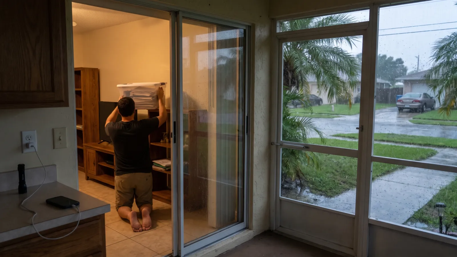
- Move things up. Ready.gov says: "Move valuables to higher levels." It also says to "keep documents in a waterproof container" and to make password-protected digital copies.
- Charge. NWS says: "Make sure your cell phone and portable radios are all charged in case you lose power or need to evacuate." Keep a flashlight and batteries where you can find them in the dark.
- Check your route. NWS asks: "What is the fastest way to get to higher ground?" and where water is likely to collect on the roads you use most.
- Check your breakers. NWS says to make sure your circuit breakers or fuses "are clearly marked for each area of your home."
- Pack in advance. NWS says "You may be evacuated, so pack in advance," and "If it is likely your home will flood, don't wait to be ordered to leave; evacuate yourself!" Our go-bag checklist has the list.
- Get alerts. Ready.gov says: "Where it rains it can flood. Sign up for your community's warning system." Our guide to emergency alerts on your phone shows how to switch on Wireless Emergency Alerts.
If a warning is issued where you live
A flood warning means "flooding is imminent or occurring", and NWS's label is Take Action. For a flash flood warning, it says "If you are in a flood prone area move immediately to high ground." If you are told to evacuate, NWS says to go immediately: "Lock your home when you leave. If you have time, disconnect utilities and appliances."
Inside, NWS says: "Don't go into a basement, or any room, if water covers the electrical outlets or if cords are submerged." Ready.gov says not to climb into a closed attic, "to avoid getting trapped by rising floodwater." If you are trapped by moving water, NWS says to move to the highest possible point and call 911 if you can.
On the road
NWS says "over half of all flood-related drownings occur when a vehicle is driven into hazardous flood water," citing CDC. "It takes just 12 inches of rushing water to carry away most cars and just 2 feet of rushing water can carry away SUVs and trucks." Never drive around barriers across a flooded road: "The road may have collapsed under that water."
Ready.gov adds: "Stay off bridges over fast-moving water." If your car is trapped in rapidly moving water, it says to stay inside, and to "Get on the roof if water is rising inside the car."
After the water goes down
Ready.gov says to "Return home only when authorities say it is safe," and: "Do not touch electrical equipment if it is wet or if you are standing in water." CDC says "The best way to protect yourself is to stay out of the water," and "even shallow standing water can be dangerous for small children."
If water got into your home, CDC says to throw away food that may have touched flood or storm water, and to "Follow local guidance on whether your water is safe to drink." If you clean up with a generator, pump or pressure washer, CDC says never to run its engine inside a home, basement, garage, carport, porch or other enclosed or partly enclosed space, or less than 20 feet from any door, window or vent, even if the windows and doors are open. Our generator safety guide explains why.
What you don't need to do
You don't need to buy anything because of a flood watch. If you are thinking about flood insurance, FloodSmart says a new policy goes into effect "30 days after your date of purchase," with four exceptions, such as buying it while you take out or renew a mortgage. A policy bought tonight usually won't cover this week's water, but it is worth a look for the next storm. NWS notes that "standard homeowners insurance doesn't cover flooding." Our flood preparedness guide explains how it works.
Don't drive out to look at flooded areas: NWS says "Do not visit disaster areas. Your presence may hamper rescue and other emergency operations." If you are thinking about sandbags, our sandbag guide covers what they can and can't do.
We will update this story if NWS issues new flood watches for South Florida, raises the forecast for the Peace or St. Johns rivers, or if FEMA declares a disaster for the flooding. NWS's active alerts at weather.gov are the official, current picture.
Common questions
Is the South Florida flood watch still in effect?
NWS Miami's watch for Palm Beach County runs until 11 PM EST on Monday, November 2. Its watch for Broward, Miami-Dade and southwest Florida expired at 7 PM, but at 7:30 PM it issued a flood advisory for central Miami-Dade until 9:30 PM. NWS Melbourne's watch for Brevard, Indian River, St. Lucie, Martin, Volusia and Okeechobee runs until 10 AM Tuesday. Check our live alerts page for anything new.
What is the difference between a flood watch and a flood warning?
NWS issues a flood watch when conditions are favorable for flooding: it does not mean flooding will happen, but it is possible. A flood warning means flooding is imminent or occurring. A flash flood warning means a flash flood is imminent or occurring, and NWS says to move to high ground immediately if you are in a flood-prone area.
How much rain has fallen in Florida?
NWS Melbourne said 16 to 22 inches had fallen in southeastern Brevard and northeastern Indian River counties by 3:35 PM on November 2, and 6 to 14 inches across parts of St. Lucie, Indian River and Martin counties by 7:13 PM. NWS Tampa Bay said 5 to 13 inches had fallen over Hardee, DeSoto and Highlands counties.
What should I move before a flood?
Ready.gov says to move valuables to higher levels and keep documents in a waterproof container, with password-protected digital copies. NWS says to charge your phone and portable radios, mark your circuit breakers, and pack in advance in case you need to evacuate.
Do I need to buy anything for a flood watch?
No. Make sure your phone gets emergency alerts, know how you would get to higher ground, and keep a flashlight charged. If you are thinking about flood insurance, FloodSmart says new policies usually take 30 days to start, so it is a step for the next storm, not this one.
Sources (22)
- NWS Miami: Flood Watch, Palm Beach County (Nov 2, 2026, 7:04 PM EST)
- NWS Miami: Flood Watch expired, Broward, Miami-Dade and southwest Florida (Nov 2, 2026, 7:04 PM EST)
- NWS Miami: Flood Advisory, central Miami-Dade County (Nov 2, 2026, 7:30 PM EST)
- NWS Miami: Flash Flood Warning, eastern Palm Beach County (Nov 2, 2026, 7:29 PM EST)
- NWS Melbourne: Flood Watch, east central Florida (Nov 2, 2026, 1:37 PM EST)
- NWS Melbourne: Flood Warning, Brevard and Indian River counties (Nov 2, 2026, 3:36 PM EST)
- NWS Melbourne: Flood Warning, Indian River, St. Lucie and Martin counties (Nov 2, 2026, 7:14 PM EST)
- NWS Miami: Flash Flood Warning, Broward and Palm Beach counties (Nov 2, 2026, 6:56 PM EST)
- NWS Tampa Bay: Flood Warning, Hardee, DeSoto and Highlands counties (Nov 2, 2026, 3:29 PM EST)
- NWS Tampa Bay: Flood Warning, Peace River at Arcadia (Nov 2, 2026, 2:06 PM EST)
- NWS Melbourne: Flood Warning, St. Johns River near Astor (Nov 2, 2026, 2:50 PM EST)
- NWS Melbourne: Flood Warning, St. Johns River above Lake Harney (Nov 2, 2026, 2:20 PM EST)
- NWS: Active alerts for Florida
- National Weather Service: Flood Warning vs. Watch
- National Weather Service: Before a Flood
- National Weather Service: During a Flood
- National Weather Service: Turn Around Don't Drown
- National Weather Service: After a Flood
- Ready.gov: Floods
- CDC: Safety Guidelines: Floodwater
- CDC: Safety Guidelines: Reentering Your Flooded Home
- FloodSmart: What you need to know about buying flood insurance
Get one calm email when it matters
Seasonal checklists and gear price drops. No spam, unsubscribe any time.
Keep reading
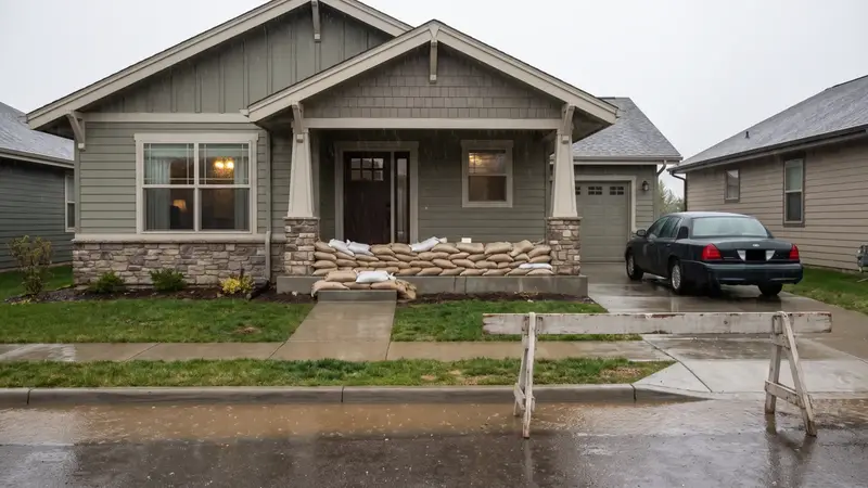 Flood preparedness: flood watch vs warning, what to do and how flood insurance worksFlood watch vs warning, how little moving water can sweep a car away, the 30-day flood insurance wait, and wha…
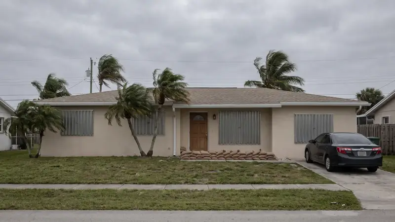 Hurricane preparedness checklist: what to do before, during and after a stormHurricane season dates, watch vs warning, how to find your evacuation zone, storm surge, supplies, and what to…
 Emergency alerts on your phone: WEA, IPAWS and NOAA Weather Radio, and how to check they are onHow Wireless Emergency Alerts, IPAWS, the Emergency Alert System and NOAA Weather Radio work, why you may not …
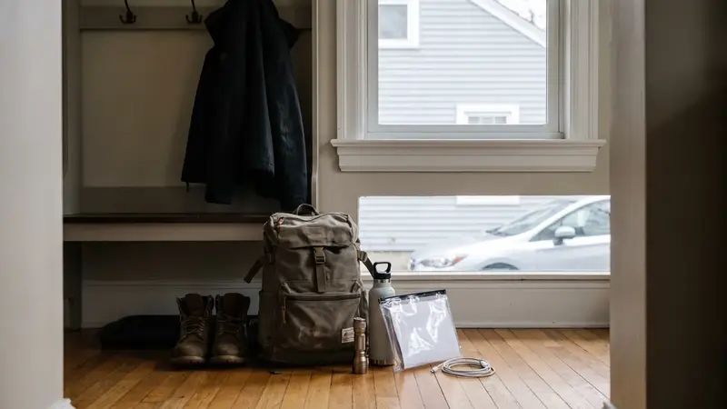 Go-bag checklist: what to pack in case you have to evacuateWhat to pack in a go-bag: documents, medications, cash, chargers, per-person items, kids and pets, and how it …