Is the polar vortex splitting? Will Arctic cold hit the US in November?
Forecasters say the polar vortex could reverse around November 4 or 5, the earliest on record. NOAA's November outlooks favor a warmer north, not an Arctic blast.
By Tom Calder · Updated November 2, 2026 · Sourced to Men's Journal, Severe Weather Europe, AccuWeather, NOAA's Climate Prediction Center, NASA, NOAA's Chemical Sciences Laboratory, NOAA Climate.gov, the National Weather Service, Ready.gov, CPSC and CDC
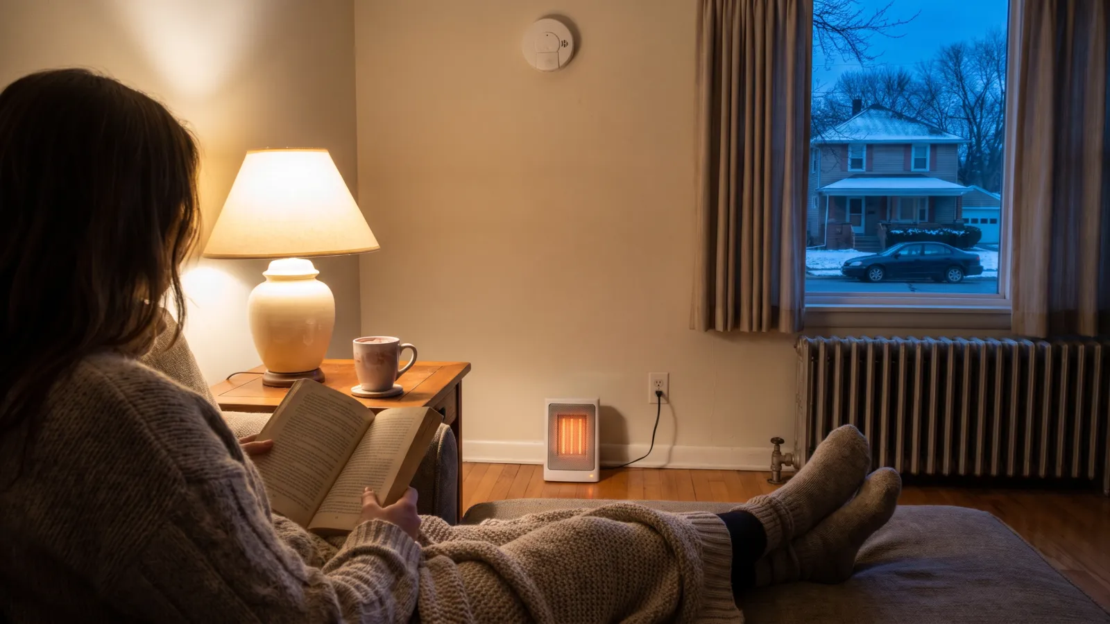
“The Polar Vortex Is About to Break Down 3 Weeks Earlier Than Ever Recorded, and the East Could Feel It by Thanksgiving”
Real and record-early, if the forecast holds. No US Arctic blast is in NOAA's November outlooks.
- The disruption is real and forecast to be the earliest on record. NASA's daily file, read November 2, forecasts the winds about 19 miles up at 60°N to reverse on November 5. The old record is November 27 to 29, 1968, depending on the dataset.
- NOAA's Climate Prediction Center calls it "a rare November stratospheric polar vortex disruption" and says the effects, usually a negative Arctic Oscillation, can last up to 2 months. It has not forecast an Arctic outbreak.
- NOAA's outlooks issued October 30 to November 2 favor above-normal temperatures across most of the lower 48 through November 16, with below normal favored only in parts of the Southeast for November 8 to 12, and across the northern tier through November 27, with equal chances in the Southeast and Southern Plains later in the month.
- AccuWeather says no frigid air is coming to the US in November: what true cold exists is headed for Siberia, and chillier episodes may move into the US in late November and December.
- Either way, now is a good time to get ready. Test your carbon monoxide alarms, have your furnace checked and build a winter kit. You don't need to buy anything because of this headline.
The three things most homes are missing
Our top pick from each comparisonIf you already have these, you're most of the way there. As an Amazon Associate, PreparedStates earns from qualifying purchases. We may earn a commission when you buy through our links. When two products are close, commission can decide which one we pick. A clearly better product always wins.
What the data actually shows
The standard measure is the wind about 19 miles up (10 hPa) averaged around the 60°N latitude circle. In winter it blows from west to east; a major sudden stratospheric warming is counted when it reverses to east to west. NASA's daily file, which we read on November 2, had that wind at 12.5 meters per second (about 28 mph) on October 31, the last measured day. The lowest ever recorded for that date, in NASA's record back to 1978, was 11.3. The average is 24.3.
The forecast part of the same file drops to 2.6 on November 3, 0.6 on November 4, and goes negative, -0.5, on November 5, staying negative through November 11, the end of the forecast. Those numbers are from a weather model, not measurements. The reversal is forecast, not observed.
Severe Weather Europe reported that model ensembles disagreed on how sure it is: the European ensemble "already shows a reversal with a 96% chance," the American GEFS 71%, and the AIFS ensemble 37%. NOAA's own stratosphere team keeps the record of major warmings since 1958; the earliest it lists is November 1968, dated November 27, 28 or 29 depending on the dataset, and one dataset adds November 30, 1958. A reversal on November 5 would beat that by about three weeks. Our analysis of 31 past events has what happened to US weather after each.
What NOAA's outlooks say for the US
NOAA's Climate Prediction Center, which issues the official US outlooks, is watching the same event. Its updated November outlook, issued October 31, says model forecasts point to a possible sudden stratospheric warming next week: "A November SSW is very rare, and should this occur, impacts can be seen for up to 2 months." Those effects usually show up as a negative Arctic Oscillation, it says, and that pattern is already in the models. It says that adds uncertainty for the eastern US, where SSW effects "compete with those from El Nino."
Even so, the updated outlook expanded the area favored for above-normal temperatures, "reaching further south and covering more of the Southeast," with 60 to 70% odds over the Northern Plains and Upper Mississippi Valley. The discussion describes only above-normal and equal-chances areas for the lower 48.
The shorter outlooks, issued November 2, point the same way. For November 8 to 12, above-normal temperatures are likely across the West and north-central US, with odds above 80% in the Northern Rockies and Northern High Plains; in the lower 48, below-normal is favored only over parts of the Southeast, under a trough. For November 10 to 16, "above normal temperatures are favored across most of the CONUS," least likely across much of Florida.
The week 3 to 4 outlook, issued October 30 for November 14 to 27, says "a rare November stratospheric polar vortex disruption is unfolding, with forecasts indicating a transition into a major sudden stratospheric warming (SSW) in a week." It still favors above-normal temperatures along the West Coast and across the northern tier, with equal chances of above, near or below normal in the Southeast and Southern Plains. Those are odds, not promises, and the next week 3 to 4 outlook comes on November 6.
What AccuWeather says
AccuWeather's October 30 story is headlined "No frigid air coming to US in November despite polar vortex being on the move." Its reasoning: "there is one big problem with the polar vortex event this time -the air in northern Canada is not all that cold to begin with." Senior Meteorologist Brett Anderson said: "This time, what true cold air exists in the pattern will be directed to Siberia, rather than North America."
It does expect temperatures to "trend lower in parts of the U.S. later during the first and second weeks of November," from storms forming overhead "rather than a bitterly cold blast," and says the pattern "may cool a bit more during the second half of November." Senior Long-Range Meteorologist Joe Lundberg said the jet stream's blocking pattern "may break down enough to allow some chillier air episodes to move southward into the U.S." in the latter part of November and December. He added that ski resorts open for Thanksgiving in the East may lack snow and the cold air to make their own. That is a forecast of a cooler, wetter pattern, and it is AccuWeather's, not ours.
What is confirmed, and what is not
Confirmed: a record-early disruption is forecast by the models, NASA's daily data shows the winds already about half their average for the date (12.5 meters per second against 24.3 on October 31, close to the record low of 11.3), and NOAA's forecasters call it rare and are factoring it in. If the reversal happens on November 5, it would be about three weeks earlier than the 1968 event, which is what the headline says.
Not confirmed: that the East will "feel it by Thanksgiving." No NOAA outlook favors below-normal temperatures for the eastern US in that window; the Southeast and Southern Plains are at equal chances for November 14 to 27, which means the forecasters don't lean either way. AccuWeather's forecast is cooler and wetter, not frigid. None of the NOAA outlooks we read (6 to 14 day, week 3 to 4 and monthly) describes an Arctic outbreak for the lower 48 in November.
Also not yet confirmed: the reversal itself. As of the last measured day, October 31, the wind was still blowing west to east. Any story saying the vortex has already split is ahead of the data.
How a sudden stratospheric warming works
The National Weather Service describes the polar vortex as "a large area of low pressure and cold air surrounding both of the Earth's poles. It ALWAYS exists near the poles, but weakens in summer and strengthens in winter." NOAA's Climate.gov explains that the stratospheric part is "occasionally knocked off kilter when especially strong atmospheric waves in the troposphere break upward into the stratosphere." Then "it may wobble, slide off the pole, split into several lobes, or" in the most extreme cases, temporarily reverse direction. The spike in stratospheric temperature that goes with it is why it is called a sudden stratospheric warming.
What happens next is the uncertain part. Climate.gov says that "in the weeks following the stratospheric upheaval, the polar jet stream will often develop a wavy shape," bringing wintry conditions farther south than average under its troughs. NOAA's Amy Butler told Climate.gov in 2021 that the disruptions happen "on average about every other year in the Arctic" and that "some part of the mid-latitudes will ultimately experience a cold air outbreak." Which part is the question: the research links them to cold outbreaks in "the United States or Eurasia a few weeks later." This year, AccuWeather expects the cold to go to Siberia.
Two more things make this event unusual. It is November, so the Arctic has had less time to build up cold air; and NOAA's October 8 ENSO discussion says a strong-to-very strong El Niño is likely through January to March 2027, with sea surface temperatures in the Niño-3.4 region 2.1°C above average. The Climate Prediction Center says El Niño "remains the dominant teleconnection" for November and that the two drivers pull in different directions over the eastern US. That is why NOAA's outlooks lean warm with lower confidence rather than cold.
What it means for your home
Nothing in these forecasts calls for buying anything. The National Weather Service's own advice is the right size for it: "there is no cause to be alarmed when you hear about the polar vortex, but you should be prepared for colder temperatures." Winter is coming regardless, and the mild start NOAA's outlooks favor is the easy time to get ready.
Start with our winter storms page, which lists today's NWS watches and warnings by state, and the winter storm kit builder, which sizes Ready.gov's list to your household. Our winter storm preparedness guide covers the rest. If you heat with a space heater, read the space heater safety guide before our space heater comparison.
- Alerts: sign up for your community's warning system and keep a NOAA Weather Radio; our winter storm warning page explains what each alert means (Ready.gov, NWS)
- Carbon monoxide: alarms on every level of the home and outside sleeping areas, with battery backup, tested every month (CPSC)
- Furnace: have a professional inspect fuel-burning heating systems, chimneys, flues and vents every year (CPSC, CDC)
- Supplies: enough to stay home for several days without power, including medication, with flashlights, extra batteries and a battery-powered radio (Ready.gov, NWS)
- Heating fuel: refuel before you are empty; deliveries may not reach you for days after a storm (NWS)
- Pipes and drafts: insulation, caulking and weather stripping, and know how to keep pipes from freezing (Ready.gov)
What not to do
Don't heat your home with a gas stove or oven. Ready.gov says it "increases your risk of carbon monoxide poisoning." Use generators and grills only outdoors; keep generators at least 20 feet from windows, doors and attached garages.
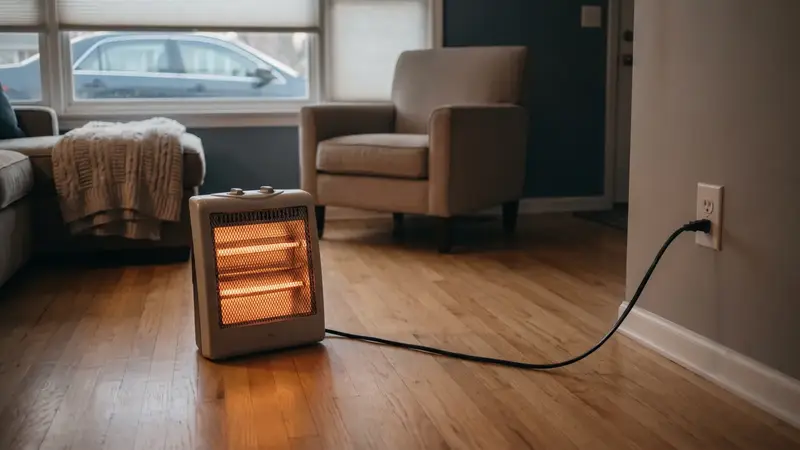
Don't plug a space heater into an extension cord or power strip, and don't leave one running while you sleep. CPSC says to keep portable heaters at least three feet from anything that can burn, and estimates they were involved in an average of 1,600 fires a year from 2020 to 2022.
Don't treat the headline as a forecast for your town. Check the live alerts page and your local forecast on weather.gov when cold does arrive. We will update this check as the data comes in.
We will update this check once NASA's daily wind data shows the reversal has happened or the forecast has failed, after NOAA's next week 3 to 4 outlook on Friday, November 6, and if any NOAA outlook or National Weather Service forecast starts favoring below-normal temperatures for a large part of the US.
Common questions
Is the polar vortex coming to the US?
Not according to NOAA's outlooks. The stratospheric polar vortex is forecast to weaken and reverse around November 5, but NOAA's Climate Prediction Center still favors above-normal temperatures across most of the lower 48 through November 16, with below normal favored only in parts of the Southeast for November 8 to 12, and across the northern tier through November 27. AccuWeather says the true cold in this pattern is headed for Siberia, not North America.
When will the polar vortex hit?
No agency has forecast an Arctic outbreak for the US. NOAA favors below-normal temperatures only in parts of the Southeast for November 8 to 12. NASA's daily file forecasts the stratospheric winds to reverse on November 5; NOAA says the effects of a sudden stratospheric warming can show up for up to 2 months afterward, usually as a negative Arctic Oscillation. AccuWeather says chillier episodes may move into the US in late November and December. For Thanksgiving week, NOAA's outlook for November 14 to 27 gives the Southeast and Southern Plains equal chances and favors above normal for the northern tier. Your local NWS forecast will tell you when cold is actually coming.
What does a polar vortex split mean?
The stratospheric polar vortex, a ring of strong winds about 19 miles up, is knocked off the pole or broken into lobes by atmospheric waves, and its winds can reverse. NOAA calls this a sudden stratospheric warming because the stratosphere's temperature spikes. In the weeks after, the jet stream often turns wavier, which can send cold south somewhere in the mid-latitudes, but it can be Europe or Asia rather than the US.
Is this really the earliest on record?
If the reversal happens as forecast. NOAA's compendium of major warmings since 1958 lists November 1968 as the earliest, dated November 27 to 29 depending on the dataset. A reversal on November 5 would be about three weeks earlier. As of October 31, the last measured day, the wind had not reversed.
Should I prepare?
Yes, for winter, not for this headline. The National Weather Service says there is no cause for alarm but to be prepared for colder temperatures. Test your carbon monoxide alarms, have your furnace inspected, keep supplies for several days without power, and read the space heater rules before you use one. You don't need to buy a heater or generator because of a polar vortex story.
Sources (16)
- Men's Journal: The Polar Vortex Is About to Break Down 3 Weeks Earlier Than Ever Recorded (Nov 2, 2026)
- Severe Weather Europe: Polar Vortex Split Forecast: The Earliest Stratospheric Warming on Record Is Coming (Oct 28, 2026)
- AccuWeather: No frigid air coming to US in November despite polar vortex being on the move (Oct 30, 2026)
- NOAA Climate Prediction Center: 6-10 and 8-14 day outlook discussion (Nov 2, 2026)
- NOAA Climate Prediction Center: updated November 2026 monthly outlook discussion (Oct 31, 2026)
- NOAA Climate Prediction Center: Week 3-4 outlook, Nov 14 to 27 (Oct 30, 2026)
- NOAA Climate Prediction Center: ENSO diagnostic discussion (Oct 8, 2026)
- NASA GSFC: 60°N 10 hPa zonal-mean wind, 2026/27 (MERRA-2 and GEOS FP), read Nov 2, 2026
- NOAA CSL: Sudden Stratospheric Warming Compendium, table of major warmings (updated Sept 2023)
- NOAA Climate.gov: Understanding the Arctic polar vortex (Mar 5, 2021)
- National Weather Service: The polar vortex
- National Weather Service: Before a winter storm
- Ready.gov: Winter weather
- Ready.gov: Power outages
- CPSC: Keep warm and safe this winter: generators, furnaces and space heaters
- CDC: Carbon monoxide poisoning basics
Get one calm email when it matters
Seasonal checklists and gear price drops. No spam, unsubscribe any time.
Keep reading
 Polar vortex 2026: a record-early collapse is forecast. What 31 past ones did to US weatherModels forecast the earliest polar vortex reversal on record, around Nov 5. We checked NASA and NOAA data back…
 Is a cold November ahead because the polar vortex is acting up early?A headline asks if an early polar vortex disruption means a cold November. NOAA's outlook favors a warmer nort…
 Winter storm preparedness checklist: before, during and afterA plain-English winter storm checklist: watch vs warning, home prep, supplies, staying warm, shoveling and car…
 Space heater safety: clearance, plugs and what to do in a winter power outageHow to use a space heater safely: keep it 3 feet from anything that can burn, plug it into the wall, never run…