El Niño winter 2026-27: what it means for your region of the US
What NOAA's Climate Prediction Center says about this El Niño, how El Niño usually shifts US winter odds by region, including Florida, and what to prepare for.
By Tom Calder · Updated November 4, 2026 · Sourced to NOAA's Climate Prediction Center, NOAA, NOAA Climate.gov, the National Weather Service, Ready.gov and FloodSmart
- El Niño is here and strong. In its October 8, 2026 discussion, NOAA's Climate Prediction Center (CPC) said a strong-to-very strong El Niño is likely through January-March 2027, with a greater than 83% chance. The next discussion is scheduled for November 12.
- "Super El Niño" is not CPC's term. CPC says chances remain high for a historic event that would be stronger than any previous El Niño back to 1950.
- El Niño usually tilts winter odds toward a wetter, stormier South and Gulf Coast, including Florida, and a milder North. CPC calls these odds, not guarantees, and neither is this page a forecast: every outlook here is NOAA's.
- NOAA's December-February outlook favors a wetter southern tier from the Southwest to the Southeast and along the East Coast, and a warmer North. It doesn't predict seasonal snow.
- NOAA's odds favor a wet winter in Florida and along the Gulf, so plan for flooding and severe storms there. Everywhere else, the usual winter storm and power outage basics still apply: a winter that is milder on average can still bring storms.
Where El Niño stands now
NOAA's Climate Prediction Center has had an El Niño Advisory in effect. Its ENSO diagnostic discussion of October 8, 2026 says: "El Niño continues to strengthen, with a strong-to-very strong El Niño likely through January-March 2027 (remaining greater than an 83% chance)." The key ocean measure, the Niño-3.4 index, reached +2.1°C (about 3.8°F) above average in September.
CPC says chances remain high for a historic event that would exceed the strength of previous El Niño events dating back to 1950 (+2.5°C or more on its 3-month relative index). It puts that chance at 54% for September-November, 83% for October-December and 70% for November-January.
Searches for a "super El Niño" are about this. CPC's own words are "strong-to-very strong" and "historic event." Its next ENSO diagnostic discussion is scheduled for November 12, 2026; we'll update this page after it.
What El Niño usually does to a US winter
El Niño is a warming of sea-surface temperatures in the central and east-central equatorial Pacific. CPC says winter El Niño episodes feature a strong jet stream and storm track across the southern part of the United States, and less storminess and milder-than-average conditions across the North.
NOAA Climate.gov says the influence on the US is strongest during winter (December-February) but may linger into early spring, and that it is "a matter of probability, not certainty." These impacts happen more often during El Niño than you'd expect by chance, but not in every El Niño.
- Gulf Coast and Florida: wetter than average. Climate.gov calls this the most reliable signal, seen in more than 80% of El Niño events in the past 100 years, from Texas to Florida, during October-March.
- Southern US: stormier. CPC's FAQ says the jet stream runs west to east across the southern US during El Niño, so the region becomes more susceptible to severe weather outbreaks.
- California and the Southwest: the wet signal is weaker and depends on strength. Climate.gov says the stronger the El Niño, the more reliable it has been; the two strongest events in the 60 years before its 2014 article (1982-83 and 1997-98) brought much-above-median rain across all of California.
- Northern states: milder. CPC says El Niño brings less cold air from Canada and a milder-than-normal winter across the northern states.
- Ohio Valley, Pacific Northwest and northern Rockies: Climate.gov links El Niño with drier conditions in the Ohio Valley and a less reliable dry signal in the Pacific Northwest and northern Rockies.
- Hawaii: often drier than average from late fall through early spring.
NOAA's December-February outlook, in words
NOAA's US Winter Outlook, issued October 15, 2026, gives the odds that temperature and precipitation for December 2026 to February 2027 will be above, near or below average. It is NOAA's outlook, built around this El Niño. National Weather Service director Ken Graham said a very strong El Niño "tilts the odds toward stormier weather across the South."
Temperature: warmer than average is favored for northern California, the Pacific Northwest, the Midwest, the Mississippi Valley, much of the East, Alaska, and Puerto Rico and the US Virgin Islands. Near-normal temperatures are most likely for parts of the Southeast, including Florida. Hawaii and much of the Southwest have equal chances of below, near or above average.
Precipitation: wetter than average is most likely across the southern tier, from the Southwest to the Southeast, and along the East Coast. CPC's discussion says the odds of a wetter-than-normal season top 70% for some areas of the extreme Southeast and northern Florida through January-March. For November-January, it also gives elevated odds of above-normal precipitation for much of the West Coast, as far north as the Oregon coast, though lower than in the Southeast. Drier than average is favored for Hawaii, much of Alaska, the northern Mountain West, some areas of the Great Lakes and the western Pacific Islands. The Intermountain West, northern Plains, Ohio Valley, Puerto Rico and the US Virgin Islands have equal chances.
Drought: NOAA forecasts drought to improve or end in the Southwest, the Southern Great Plains, the Southeast and parts of the East Coast. Its outlook favors drought developing or worsening in parts of the northern Rockies, northeastern Oregon and eastern Washington.
What the outlook doesn't say: how much snow you'll get. NOAA says snow forecasts are generally not predictable more than a week in advance. The outlook is updated monthly, and the next update is due November 19, 2026.
Florida and the Gulf Coast: flooding and severe storms
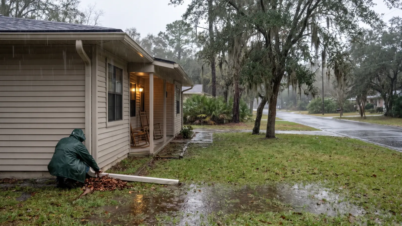
This is where El Niño's wet signal is most reliable, and where CPC gives its highest odds of a wet winter this year: the Southeast and Florida. Plan for heavy rain, flooding and severe storms.
Flood insurance takes time. FloodSmart, the National Flood Insurance Program's site, says most homeowners insurance does not cover flood damage, and that NFIP coverage goes into effect 30 days after purchase, with four exceptions. If you're weighing a policy for this winter, that wait is the reason to look now, not when rain is forecast.
Know the alerts. The National Weather Service says a Flood Watch means conditions are favorable for flooding, and a Flash Flood Warning means a flash flood is imminent or occurring: if you're in a flood-prone area, move immediately to high ground. It takes just 12 inches of rushing water to carry away most cars: Turn Around, Don't Drown.
Ready.gov suggests moving valuables to higher levels, clearing drains and gutters, installing check valves and considering a sump pump with a battery. Our flood preparedness guide covers the full plan, and our tornado guide covers severe storms.
California and the Southwest: rain on dry ground
The odds lean wet here this winter, but less strongly than in the Southeast. Graham said that while higher chances of rain and snow may bring relief to drought-afflicted areas, "too much precipitation on dry soil can fuel destructive flash floods and mudslides."
The same flood basics apply: know your flood risk, sign up for local alerts and never drive into flooded roads. Our driving through flood water guide explains why.
The North and everywhere else: winter storm basics still apply
Milder on average is not the same as no winter. The outlook is about the season as a whole; individual storms, cold snaps and ice can still happen, and NOAA's outlook says nothing about snow totals.
Ready.gov's winter advice holds: prepare your home to keep out the cold with insulation, caulking and weather stripping, learn how to keep pipes from freezing, and gather supplies in case you need to stay home for several days without power. Install and test smoke alarms and carbon monoxide detectors with battery backups.
Only use generators and grills outdoors and away from windows, and never heat your home with a gas stovetop or oven. Ready.gov says generators and fuel should always be used outdoors and at least 20 feet away from windows, doors and attached garages.
Our winter storm checklist, frozen pipes guide and power outage checklist have the details. For what's happening right now, see winter storms now and live weather alerts.
CPC says that with an El Niño this strong, the chances of impacts consistent with El Niño are larger, though not guaranteed. A seasonal outlook can't tell you about any single storm, so watch your local forecast and National Weather Service alerts at weather.gov. We'll update this page after CPC's November 12 discussion and NOAA's November 19 outlook.
Common questions
What are El Niño's effects on a US winter?
CPC says El Niño winters feature a strong jet stream and storm track across the southern US, and less storminess and milder-than-average conditions across the North. NOAA Climate.gov says the most reliable signal is a wetter Gulf Coast from Texas to Florida. These are shifts in the odds, not guarantees.
What is the super El Niño of 2026?
"Super El Niño" is a popular term, not CPC's. On October 8, 2026, CPC said a strong-to-very strong El Niño is likely through January-March 2027 (greater than an 83% chance), and that chances remain high for a historic event stronger than any back to 1950.
What does El Niño mean for Florida?
A wetter winter is the most likely outcome. NOAA's December-February outlook gives some areas of the extreme Southeast and northern Florida better than 70% odds of above-normal rain, and favors near-normal temperatures for parts of the Southeast including Florida. Plan for flooding and severe storms.
Will this winter be snowy?
NOAA's outlook doesn't say. It doesn't project seasonal snowfall, because snow forecasts are generally not predictable more than a week in advance.
When is the next update?
CPC's next ENSO diagnostic discussion is scheduled for November 12, 2026, and NOAA's next seasonal outlook update is due November 19, 2026.
Sources (13)
- NOAA Climate Prediction Center: ENSO diagnostic discussion (Oct 8, 2026)
- NOAA Climate Prediction Center: Prognostic discussion for long-lead seasonal outlooks (Oct 15, 2026)
- NOAA: El Nino looms large over U.S. Winter Outlook (Oct 15, 2026)
- NOAA Climate Prediction Center: El Niño and La Niña winter impacts on North America
- NOAA Climate Prediction Center: ENSO frequently asked questions
- NOAA Climate.gov (archived): United States El Niño impacts
- NOAA Climate.gov (archived): How El Niño and La Niña affect the winter jet stream and U.S. climate
- National Weather Service: Flood watch vs. warning
- National Weather Service: Turn Around Don't Drown
- FloodSmart (NFIP)
- FloodSmart: Buy a flood insurance policy
- Ready.gov: Floods
- Ready.gov: Winter Weather
Get one calm email when it matters
Seasonal checklists and gear price drops. No spam, unsubscribe any time.
Keep reading
 Are Americans being told to stock up on 7 items for a 'devastating' El Niño winter?Headlines say Americans were told to stock up on 7 items as 'devastating' weather forms. NOAA's El Niño outloo…
 Flood preparedness: flood watch vs warning, what to do and how flood insurance worksFlood watch vs warning, how little moving water can sweep a car away, the 30-day flood insurance wait, and wha…
 Winter storm preparedness checklist: before, during and afterA plain-English winter storm checklist: watch vs warning, home prep, supplies, staying warm, shoveling and car…
 Power outage checklist: what to do before, during and afterA calm power outage checklist from Ready.gov and CDC: what to prepare, how to protect food, medicines and medi…