Tropical Storm Pena moves west, 530 miles off the Big Island: no watches, and a home checklist
Tropical Storm Pena is moving west about 530 miles south-southeast of South Point, with no watches or warnings. What CPHC says, and a Hawaii home checklist.
By Tom Calder · Updated November 7, 2026 · Sourced to the Central Pacific Hurricane Center's advisories, discussions and outlook, NOAA's best-track records, the NHC glossary, the National Weather Service, NOAA's Climate Prediction Center and the Hawaii Emergency Management Agency
- Tropical Storm Pena formed at 11 AM HST on Friday, November 6, about 650 miles southeast of South Point on the Big Island. The Central Pacific Hurricane Center (CPHC) said in its first advisory that Pena "IS NO THREAT TO LAND". At 11 AM HST on Saturday, Pena was about 530 miles south-southeast of South Point, moving west-northwest at 9 mph with 50 mph winds. CPHC listed no hazards affecting land, and no NWS alerts were in effect in Hawaii.
- Our reading of NOAA's best-track records, which start in 1949, backs the headline: the last storm to become a tropical storm in the Central Pacific in November was Iwa, in 1982.
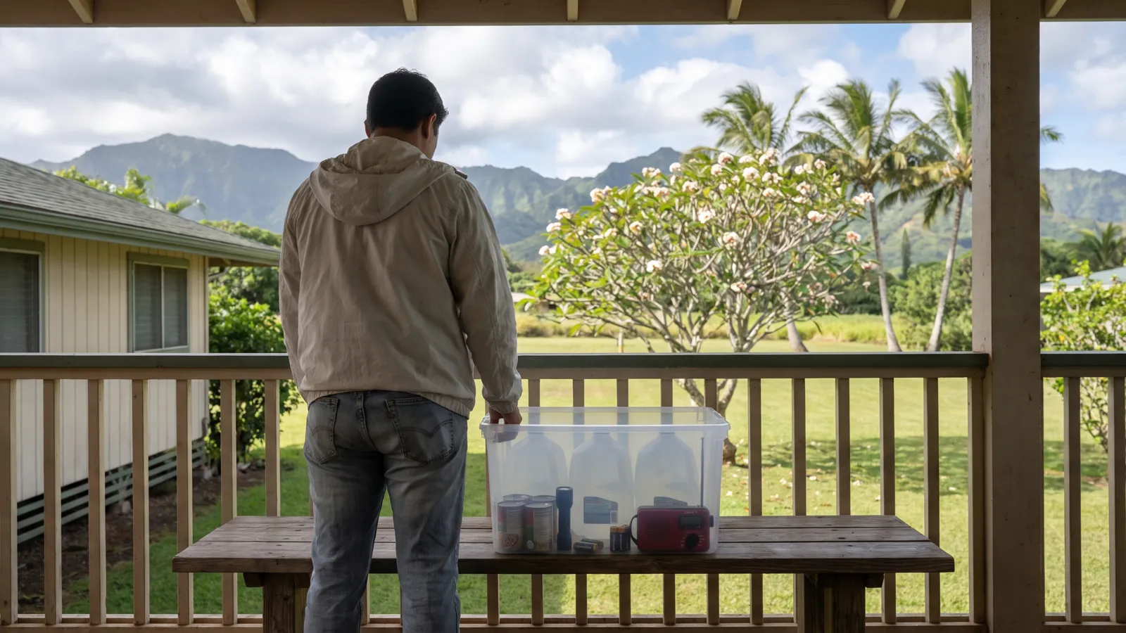
- Hurricane season runs to November 30. You don't need to buy anything because of Pena. It is a good week to check the two weeks of supplies Hawaii's emergency agency asks for.
What the Central Pacific Hurricane Center says about Pena
Pena grew from "an area of low pressure (Invest CP95) that we have been monitoring for several days", CPHC wrote in its first discussion. Advisories began at 11 AM HST on Friday, November 6, with the storm about 650 miles southeast of South Point and winds near 45 mph. The headline of that first advisory read: "TROPICAL STORM PENA FORMS WELL SOUTHEAST OF THE HAWAIIAN ISLANDS BUT IS NO THREAT TO LAND". CPHC is part of the National Weather Service in Honolulu; Pena's advisories are being issued for it by the National Hurricane Center (NHC) in Miami.
In Advisory 5, at 11 AM HST on Saturday, November 7, Pena was "ABOUT 530 MI...855 KM SSE OF SOUTH POINT HAWAII", moving west-northwest at 9 mph. Its headline: "PENA REMAINS STEADY WHILE PASSING WELL SOUTH OF THE HAWAIIAN ISLANDS". Its maximum sustained winds were near 50 mph, its central pressure was 998 millibars, and tropical-storm-force winds reached up to 45 miles from the center. CPHC said: "There are no coastal watches or warnings in effect." Under "HAZARDS AFFECTING LAND" it wrote "None".
When we checked at 10:45 AM HST on November 7, the National Weather Service showed no active watches, warnings or advisories of any kind for Hawaii. CPHC's wind speed probability table, which lists a place only when its 5-day chance of tropical-storm-force winds is at least 3 percent, named only open-ocean points far to the south and southwest, and no place in Hawaii.
Where the forecast takes it
CPHC expects Pena to keep heading west. Its 11 AM HST discussion says Pena "is expected to maintain a general westward motion over the next couple of days while steered by a broad low- to mid-level ridge anchored to its north." After about three days, "an approaching upper-level shortwave trough should induce a gradual turn toward the northwest with a slight increase in forward speed." The forecast positions stay between 11.5 and 14.5 degrees north, ending at 14.5 north, 177.7 west at 8 AM HST on Thursday, November 12.
The forecast is less sure about strength. CPHC forecasts winds of 65 mph within 12 hours and 75 mph from Wednesday morning, just above the 73 mph top of NHC's tropical storm range. It calls its intensity forecast "a bit of a conundrum": Pena "is likely contending with mid-level dry air entrainment and marginal upper-level winds, which could suppress significant strengthening over the next 36 to 48 h," and wide differences between the models are "yielding lower-than-usual forecast confidence."
CPHC's Tropical Weather Outlook at 8 AM HST placed Pena "several hundred miles south-southeast of the Big Island of Hawaii" and said: "Tropical cyclone formation is not expected during the next 7 days." Forecasts can change, and CPHC updates its advisories through the day. Our hurricane tracker shows Pena and any warning as NHC publishes them.
Is it really the first November tropical storm there since 1982?
CPHC's advisories and discussions on Pena don't say so. We checked NOAA's best-track records for the Eastern and Central Pacific (HURDAT2, 1949 to 2025), counting storms that first reached tropical-storm strength between 140 and 180 degrees west, the area CPHC's outlook covers. In our reading of that data, three did so in November: Nina on November 29, 1957, Ruby on November 13, 1972, and Iwa on November 19, 1982. Paka became a tropical depression there on November 28, 1997, but only reached tropical-storm strength on December 2. On that record, Pena is the first since Iwa. Records from before 1949 aren't in the file.
Iwa went on to reach the islands. The Hawaii Emergency Management Agency (HIEMA) says that on the night of November 23, 1982, "Hurricane Iwa struck Kauaʻi, Oʻahu and Niʻihau as a Category 1 hurricane with winds sustained at 90 mph." CPHC's latest advisory describes Pena "PASSING WELL SOUTH OF THE HAWAIIAN ISLANDS", and its forecast takes it farther west. HIEMA says Hawaii's season "runs from June through November, with peak season historically being in August and September."
What about El Niño?
The press headline links Pena to an intensifying El Niño. CPHC's Pena advisories and discussions don't mention El Niño, and we don't draw a link they haven't. NOAA's Climate Prediction Center (CPC) said in its October 8 update that "El Niño continues to strengthen, with a strong-to-very strong El Niño likely through January-March 2027". Its next update is due on November 12. Our El Niño winter guide explains what CPC's outlook says for US homes.
A short Hawaii home checklist for the rest of the season
None of this needs a shopping trip, and none of it is because of Pena. It is HIEMA's and NWS's standing advice, and the season has three weeks left.
- Two weeks of supplies. HIEMA says people in Hawaiʻi "need to stock up with two weeks of emergency supplies in case a disaster like a hurricane or tsunami damages ports and supply chains." It recommends a gallon of water per person per day: "for two weeks, you will need 14 gallons of water per person in your home." Our emergency kit checklist has the full list.
- Know your zone. NWS says to "Find out if you live in a hurricane evacuation area by contacting your local government/emergency management office". Our state pages link Hawaii's emergency management office.
- Check your insurance. NWS says to review your policies "to ensure that you have adequate coverage for your home and personal property."
- Know the last-minute list, for if a storm is ever forecast to hit. HIEMA's includes "Bringing outdoor furniture, trash cans, decorations or anything that could be blown around by hurricane winds" and "Clearing gutters and drains to ensure water flow from heavy rain."
- Make sure your phone gets alerts. Our guide to emergency alerts on your phone shows how to switch them on.
- Be ready to follow official orders. HIEMA says to "Be ready to act on evacuation orders or shelter-in-place orders that may be given leading up to and during a hurricane."
What you don't need to do
You don't need to buy anything or stock up because of Pena. CPHC lists no hazards affecting land, and no watch or warning is in effect. Read CPHC's own advisories rather than shared screenshots, and check our hurricane tracker and live alerts page. If a watch or warning is ever issued where you live, follow your county's emergency officials. Our hurricane preparedness guide covers what to do before, during and after a storm.
We will update this story if CPHC issues any watch or warning for Hawaii, lists a hazard affecting land, or changes Pena's forecast track toward the islands. CPHC's advisories at nhc.noaa.gov are the official, current picture.
Common questions
Is Tropical Storm Pena going to hit Hawaii?
CPHC's forecast doesn't take it there. At 11 AM HST on November 7, Pena was about 530 miles south-southeast of South Point, moving west-northwest, and CPHC expects it to keep moving west, then turn gradually northwest from about Tuesday, well west of the islands. CPHC lists no hazards affecting land. Forecasts can change, so check its latest advisory.
Are there any watches or warnings for Hawaii?
No. CPHC said "There are no coastal watches or warnings in effect," and the National Weather Service showed no active alerts of any kind for Hawaii when we checked at 10:45 AM HST on November 7.
Is Pena really the first November tropical storm in the Central Pacific since 1982?
CPHC hasn't said so. Our reading of NOAA's best-track records, which run from 1949 to 2025, finds three earlier storms that first reached tropical-storm strength in the Central Pacific in November: Nina in 1957, Ruby in 1972 and Iwa in 1982. Paka in 1997 formed in late November but became a tropical storm in December. On that record, Pena is the first since Iwa.
When does hurricane season end in Hawaii?
NHC says the hurricane season in the Central Pacific basin runs from June 1 to November 30. HIEMA says the peak has historically been in August and September.
Do I need to buy anything?
No. Check what you already have against HIEMA's two weeks of supplies, including 14 gallons of water per person, know your evacuation zone, review your insurance and make sure your phone gets emergency alerts.
Sources (18)
- CPHC: Tropical Storm Pena Advisory 5 (11 AM HST, Nov 7, 2026)
- CPHC: Tropical Storm Pena Discussion 5 (11 AM HST, Nov 7, 2026)
- CPHC: Tropical Storm Pena Wind Speed Probabilities 5 (Nov 7, 2026)
- CPHC: Tropical Storm Pena Advisory 4 (5 AM HST, Nov 7, 2026)
- CPHC: Tropical Storm Pena Discussion 4 (5 AM HST, Nov 7, 2026)
- CPHC: Tropical Storm Pena Wind Speed Probabilities 4 (Nov 7, 2026)
- CPHC: Tropical Storm Pena Advisory 3 (11 PM HST, Nov 6, 2026)
- CPHC: Tropical Storm Pena Advisory 1 (11 AM HST, Nov 6, 2026)
- CPHC: Tropical Storm Pena Discussion 1 (11 AM HST, Nov 6, 2026)
- CPHC: Tropical Weather Outlook, Central Pacific
- NHC: Current storms feed
- NOAA: HURDAT2 best-track data, Northeast and North Central Pacific, 1949-2025
- NHC: Glossary
- NWS: Active alerts for Hawaii
- NOAA Climate Prediction Center: ENSO Diagnostic Discussion (Oct 8, 2026)
- National Weather Service: Hurricane Preparedness
- Hawaii Emergency Management Agency: 2-Weeks Ready in Hawaiʻi
- Hawaii Emergency Management Agency: Hurricanes
Get one calm email when it matters
Seasonal checklists and gear price drops. No spam, unsubscribe any time.
Keep reading
 Hurricane preparedness checklist: what to do before, during and after a stormHurricane season dates, watch vs warning, how to find your evacuation zone, storm surge, supplies, and what to…
 Emergency kit checklist: what to include, how much to keep and where to store itA plain-English emergency kit checklist built on Ready.gov's basic kit and extra items, with how many days of …
 Emergency alerts on your phone: WEA, IPAWS and NOAA Weather Radio, and how to check they are onHow Wireless Emergency Alerts, IPAWS, the Emergency Alert System and NOAA Weather Radio work, why you may not …
 Flood preparedness: flood watch vs warning, what to do and how flood insurance worksFlood watch vs warning, how little moving water can sweep a car away, the 30-day flood insurance wait, and wha…